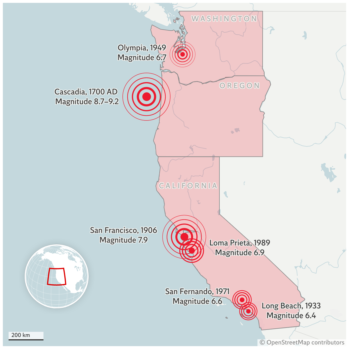
Major earthquakes on the US West Coast
The Cascadia Earthquake of 1700 is believed to have been so powerful that it caused a tsunami to strike Japan, nearly 5,000 miles away.
A map of the US west coast showing California in the south, Oregon to its north, and Washington to the north of that. The largest quake markers are the magnitude 8.7 to 9.2 Cascadia earthquake of 1700 AD, off the coast of Oregon, and the magnitude 7.9 San Francisco earthquake of 1906. Smaller makers are shown for Long Beach 1933, San Fernando 1971 (both near Los Angeles), Loma Prieta 1989 (near Santa Cruz), and Olympia, WA 1949.