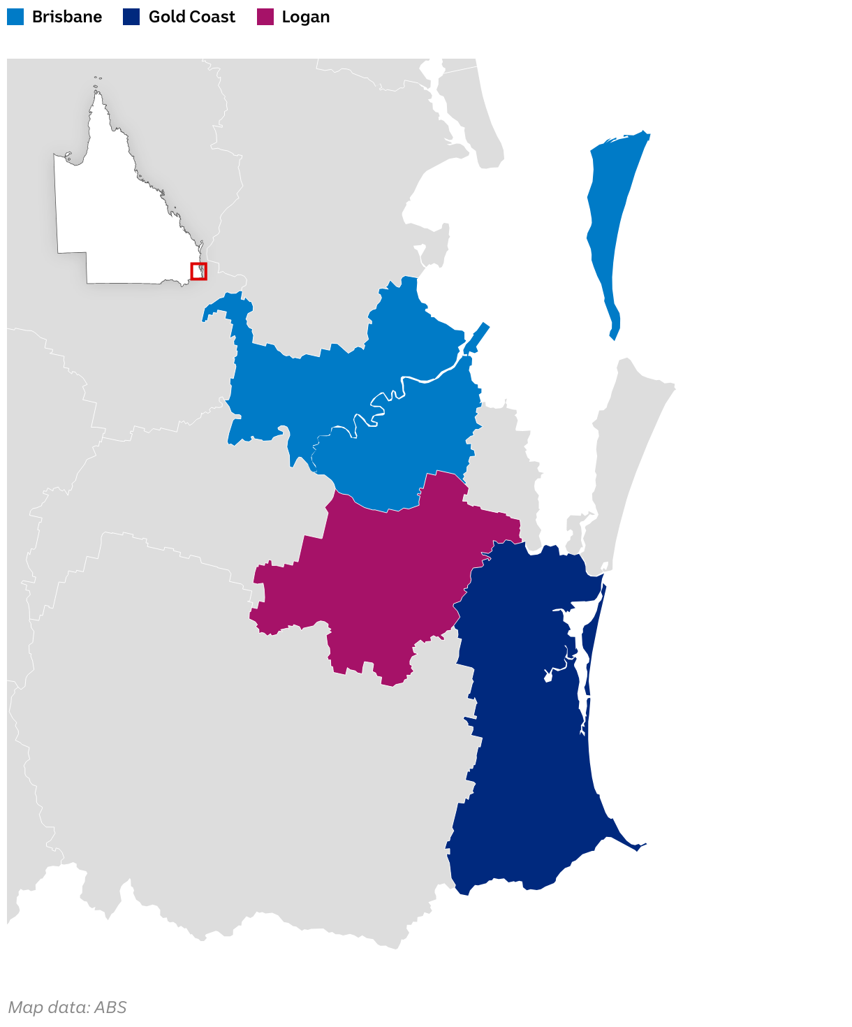
Despite sharing borders, each local government administers individual flood modelling and mapping
(Please use a modern browser to see the interactive version of this visualization)