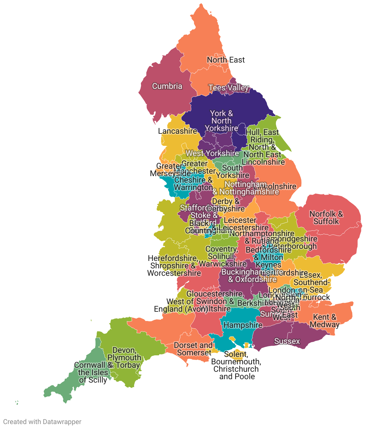
Proposed Music Hub Geographic Areas
Hover over an area for more information. Use the buttons to below to zoom.
Clicking will make a tooltip stick. Click again to remove the tooltip.
This map is available in spreadsheet form here.
This screen displays a map of England, showing all of the Upper Tier Local Authorities with colour coding to denote the proposed prescribed geographical area that it is grouped within.
This same information can also be found in table form, within the spreadsheet that is linked alongside this map.